Просмотр новости
Найдите то, что Вас интересует
 Спутники
 РН
РН SpaceX
 Роскосмос
 NASA
NASA
СпутникиРНSpaceXРоскосмосNASABackground Biomass represents an innovative leap in Earth observation. As the seventh mission in ESA’s Earth Explorer Programme, it breaks new ground as the first satellite to deliver P-band Synthetic Aperture Radar (SAR) measurements from space. By utilizing a fully polarimetric system and collecting tomographic data, the mission provides a unique capability to penetrate dense …
The post ESA’s 2026 Biomass MAAP Hackathon appeared first on eo science for society.
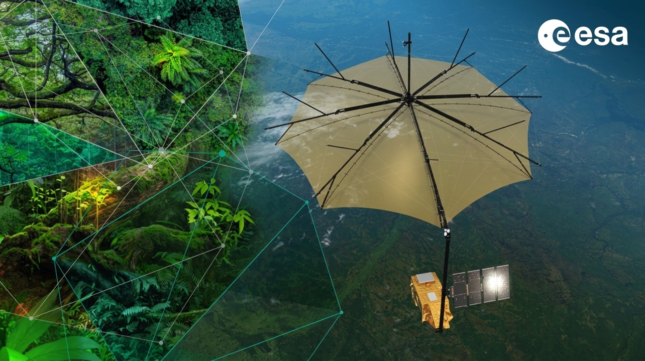
Biomass represents an innovative leap in Earth observation. As the seventh mission in ESA’s Earth Explorer Programme, it breaks new ground as the first satellite to deliver P-band Synthetic Aperture Radar (SAR) measurements from space. By utilizing a fully polarimetric system and collecting tomographic data, the mission provides a unique capability to penetrate dense forest canopies and map 3D vegetation structures. This advanced SAR configuration offers an unprecedented dataset for quantifying global forest biomass and refining models of the terrestrial carbon cycle.
Beyond forestry, its long-wavelength signals provide new insights into subsurface geology in deserts, the internal structure of ice sheets, and the dynamics of the ocean and ionosphere.
This hackathon offers an exciting opportunity for Biomass pros and newcomers alike to collaborate, share insights, and help improve the Multi-Mission Algorithm and Analysis Platform (MAAP) and the BioPAL open-source processor suite during a hands-on week of coding.
ObjectivesThe main objectives of the hackathon are to:
The following is a list of preliminary topics of interest for the hackathon. Participants can suggest additional topics or express interest in one or more of the preliminary ones. During the event, participants will split into groups and work together on a selection of topics.
| ID | Topic | Project |
| 1 | PolSAR and PolInSAR Analytics | Implement new PolSAR data layers and visualisations and submit the code for inclusion to next PyPolSARpro https://polsarpro.readthedocs.io/. |
| 2 | RFI removal | Investigate novel techniques to remove Radio Frequency Interference from the SAR images. |
| 3 | QGIS plugin | implement a plugin to import and visualise Biomass products in QGIS. |
| 4 | 3D forest structure visualisation | Implement a jupyter notebook to visualise 3D forest structure observations from Biomass, Terrestrial and Airborne Lidar. |
| 5 | Biomass and Gedi intercomparison | Implement a jupyter notebook to match GEDI and Biomass data and provide basic statistics |
| 6 | Biomass validation | Use Geo-Trees data to validate Biomass AGBD estimates. |
| 7 | Biomass for Geology | Implement Jupyter notbooks to support the analysis of Biomass data for geology applications (e.g. geological classification, mapping of subsurface features in deserts, etc). |
| 8 | Biomass for Cryosphere | Implement Jupyter notbooks to support the analysis of Biomass data for ice applications (e.g. mapping of ice structure, ice flow, sea ice concentration, sea ice thickness, etc). |
| 9 | Biomass for Ocean | Implement Jupyter notbooks to support the analysis of Biomass data for ocean applications (e.g. significant wave heights, wave spectra, icebergs, mapping of internal waves, etc). |
| 10 | Biomass for Ionosphere | Implement Jupyter notbooks to support the analysis of Biomass data for ionosphere applications (e.g. mapping TEC content, TEC tomography, etc.). |
| 11 | Biomass for biodiversity | Implement Jupyter notbooks to support the analysis of Biomass data for biodiversity applications (e.g. mapping forest types, vertical and horizontal forest structure, etc). |
| 12 | Forest Height from TomoSar | implement a method to derive forest height from TomoSAR observations. |

For this edition of the BIOMASS Hackathon, participation is limited to nationals of ESA’s Member States, Associate Members, European Cooperating States and Canada.
RegistrationRegistration deadline: Friday 31 July 2026 at 23:59 CEST.
Notifications of acceptance: early September 2026.
| # | Наименование новости | Тональность | Информативность | Дата публикации |
|---|---|---|---|---|
| 1 | ESA’s EarthCODE Hackathon 2026 | 0 | 9.05 | 30-11-2026 |
| 2 | Emissions Monitoring from Space and Ground Conference 2026 | 0 | 10.02 | 26-10-2026 |
| 3 | 4D Ionosphere 2026 | 0 | 7.68 | 20-10-2026 |
| 4 | EO for a Sustainable Blue Economy User Consultation Meeting | 0 | 3.54 | 01-02-2027 |
| 5 | 2nd EO4Soil Symposium – Earth Observation for Soil Protection and Restoration | 0 | 9.85 | 04-11-2026 |
| 6 | GDA goes Earth Action | 0 | 7.08 | 22-09-2026 |
| 7 | Environmental Crimes joint workshop with ESA-JRC-UNODC | 0 | 10.7 | 29-09-2026 |
| 8 | 1st Sentinel Users Preparation Coordination Workshop | 0 | 5.49 | 25-11-2026 |
| 9 | ESA Polar Science Cluster Collocation Meeting 2026 ❄️ | 0 | 7.3 | 15-09-2026 |
| 10 | 6th Space for Water Cycle and Hydrology Workshop: HYDROSPACE 2027💧 | 0 | 5.21 | 01-03-2027 |